Up to 220 million people globally may be at risk of arsenic-contaminated water
A new map highlights possible hot spots of arsenic contamination in groundwater
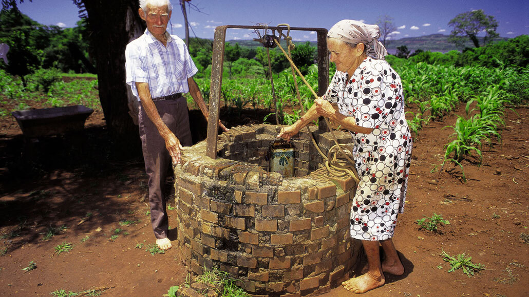
Argentina (Misiones province, shown) is a known hot spot of arsenic in groundwater. A new map reveals other possible problem spots around the world.
agefotostock/Alamy Stock Photo
As many as 220 million people around the world may be at risk of drinking arsenic-contaminated groundwater, a new study finds.
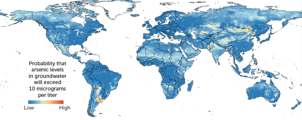
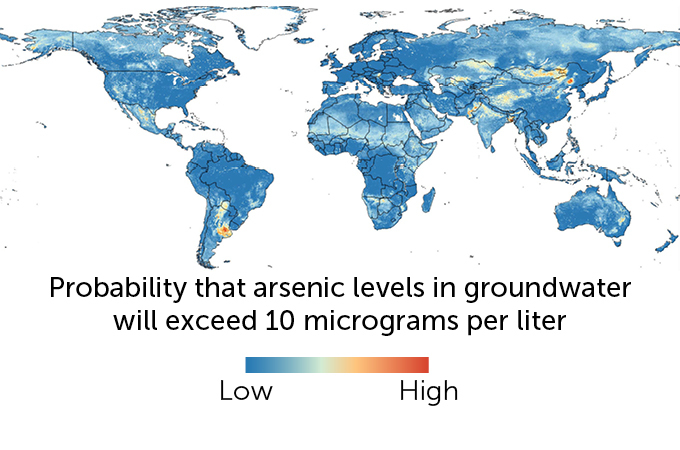
Combining climate, environmental and geologic data with machine learning, researchers made a global map, described in the May 22 Science, that predicts where groundwater arsenic concentrations are likeliest to exceed 10 micrograms per liter, a safe drinking water limit set by the World Health Organization.
Arsenic is present in trace amounts in many different types of soil and rock. It becomes harmful to people when it leaches out of these soils and into groundwater, which can occur due to a variety of chemical processes. Long-term exposure can lead to skin lesions and cancer.
Scientists have previously identified many hot spots of arsenic contamination in groundwater, including regions of Bangladesh, Argentina and Vietnam (SN: 11/20/02; SN: 3/5/15). But data on groundwater arsenic are lacking for many other regions.
So environmental scientist Joel Podgorski and hydrologist Michael Berg, both of the Swiss Federal Institute of Aquatic Science and Technology in Dübendorf, set out to create a high-resolution global risk map based on dozens of different environmental factors, from temperature and precipitation to soil age and pH.
“In the last 12 years, there’s a lot more data that has become available,” Podgorski says. He and Berg amassed data from almost 80 studies. They then used a machine learning technique called the “random forest” method, which created predictions of arsenic risk at a resolution of one square kilometer, based on different subsets of the data. The researchers then averaged the results of about 10,000 different predictions together to create the final map.
The result is “really the first truly global risk map of arsenic contamination in groundwater,” Podgorski says. The map shows many of the expected hot spots for arsenic contamination, particularly in Asia and South America. But it also highlights possible elevated risk in less well-studied regions, including central Asian countries such as Kazakhstan and Mongolia, a broad swath of countries around the Sahara as well as in the Arctic.
Even in the United States, more than a million rural residents may be unknowingly exposed to arsenic contamination in their drinking water wells. Risk maps based on statistical models, such as the map created by Podgorski and Berg, cannot predict individual well water arsenic concentrations, writes geochemist Yan Zheng of the Southern University of Science and Technology in Shenzhen, China, in a commentary in the same issue of Science. But, she notes, the map’s “greatest value lies in identifying potential areas at risk that have not had testing.”
Podgorski agrees. “This is a basic message of the map; it should be used as a guide to more testing.”
