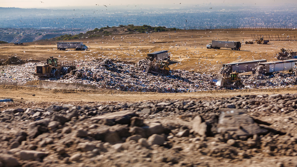
A new airborne remote sensing technique found that landfills top the list of California’s superemitters of methane, a potent greenhouse gas.
dlinca/iStock/Getty Images Plus
Landfills, pipelines or dairy farms: The largest sources of methane released to the atmosphere can now be spotted from the sky.
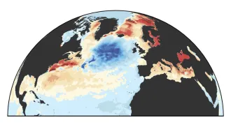
A team of researchers used airborne remote sensing to pinpoint the exact locations of some of California’s biggest belchers of methane, a potent greenhouse gas. Of those concentrated “superemitters,” landfills were the biggest sources in the Golden State, followed by dairy farms and the oil and gas industry (SN: 11/18/15).
About 34 to 46 percent of California’s methane emissions comes from 564 point sources, small surface features or bits of infrastructure no more than 10 meters in diameter that still emit large amounts of the gas, the team found.
We summarize the week's scientific breakthroughs every Thursday.
Among those point sources, there were standouts: Landfills contributed 41 percent of emissions. Dairies and the oil and gas sector contributed 26 percent each, Riley Duren, an electrical engineer and research scientist at the Jet Propulsion Laboratory in Pasadena, Calif., and colleagues report November 6 in Nature.
During five research campaigns consisting of flights across California from 2016 to 2018, Duren and his team used an airborne imaging spectrometer, which can see visible as well as infrared spectra, to scan more than 271,000 facilities and infrastructure for methane plumes. Data from the study, the result of a partnership between NASA, the California Air Resources Board and the California Energy Commission, are now available online.
Gas leaks
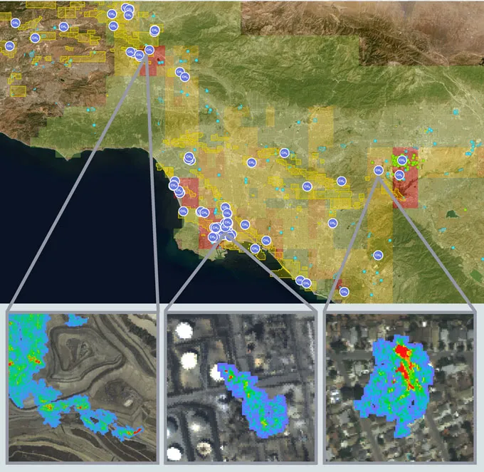
Airplanes equipped with an imaging spectrometer created detailed, high-resolution maps of methane plumes emitted across the Golden State (a few plumes are shown in the inset images above; identified concentrated sources, or point sources, of methane are represented by the purple dots). These data are available as an interactive online map called the Methane Source Finder (a portion of the map shown).
Once large point sources, such as leaky pipelines or malfunctioning gas-capture systems, are identified, managers can take steps to fix the problems and reduce those emissions, Duren and colleagues say, which could help reduce future climate warming due to the gas (SN: 2/25/16). Although other, more diffuse sources that are harder to spot — such as from individual households — are responsible for more than half of California’s methane emissions, addressing the superemitters would make a big dent in the overall total (SN: 4/14/16).
The research “means that we can focus our mitigation efforts on the biggest sources,” says atmospheric scientist Alexander Turner of the University of California, Berkeley, who was not involved in the new study. Data from remote sensing flights could become part of a “tiered observing system,” he says, which would involve identifying regions of interest from space, then using the airborne measurements to zero in on facilities with large emissions. “Coupling these two technologies — satellite and airborne remote sensing — could allow us to make real strides in curbing methane emissions,” Turner says.