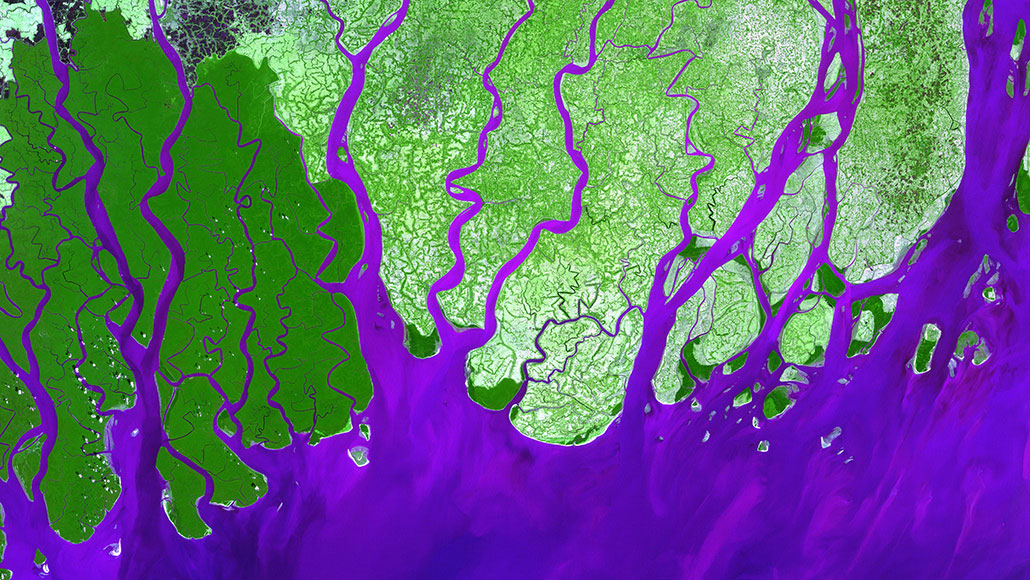
River deltas, the fans of sediment sweeping out from the mouths of rivers, are gaining ground.
Globally, delta land area increased by 54 square kilometers per year from 1985 to 2015, scientists report January 23 in Nature. A quarter of that gain is due to deforestation freeing soil from the grip of tree roots, allowing rivers to carry more of it downstream.
Geomorphologist Jaap Nienhuis of Utrecht University in the Netherlands and his colleagues examined 10,848 deltas to quantify humans’ impact. Three primary forces shape deltas: rivers delivering sediment; tides pushing or pulling sediment; and waves redistributing sediment along the coast. Humans exert a lot of control over how much sediment a river carries: While deforestation feeds the flow of soil, dams plug it up.
First, the team predicted how delta shape would change over 30 years in a world without significant human influence. It then compared those predictions to actual land area.
On balance, land gains due to deforestation exceeded losses due to damming, the team found. In about 1,500 deltas, soil erosion due to deforestation increased sediment loads by more than 50 percent. Those changes were greatest among deltas in South Asia, Southeast Asia and East Asia, where 57 percent of the new delta land area appeared over the 30-year period.
Dams reduced sediment supply by more than 50 percent in 970 other deltas. North America was the only continent to show a net loss of delta area, partly due to damming along the Mississippi River (SN: 4/4/18).
These gains and losses occurred despite rising seas. But much of the new delta area probably will be submerged by 2100, the team notes (SN: 9/25/19). Planned new dams and sand mining for construction are likely to further erode land gains.