Satellite data backs theory of North Korean nuclear site collapse
Whether underground cave-ins have made the facility unusable is unknown
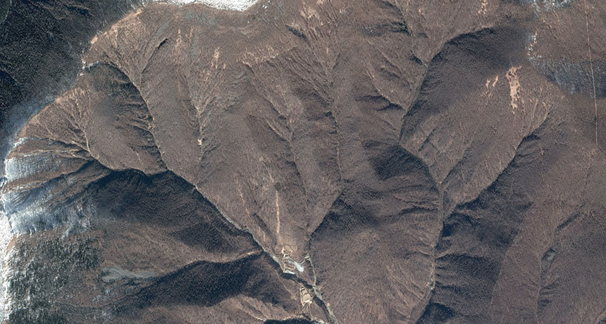
I SPY Satellite images and seismic data reveal underground cave-ins at North Korea’s nuclear test site, but it’s unclear whether that has put the facility out of action.
Google Earth