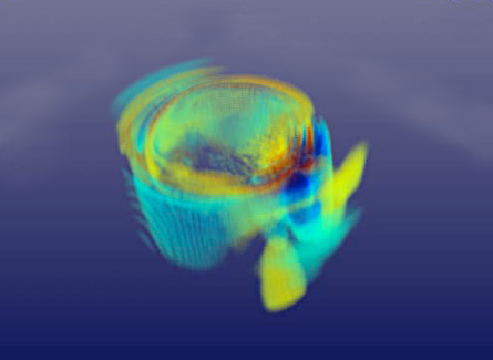
A new supercomputer simulation of the large quake that struck central China earlier this month could help researchers estimate the size of the ground motions experienced in areas that didn’t already have instruments in place to measure those motions. Knowing where ground motions are strongest can help in assessing where the worst damage may be, such as remote areas with critical infrastructure.

The epicenter of the magnitude-7.9 temblor was located about 70 kilometers northwest of Chengdu, says Mario Chavez, a seismological engineer at the National Autonomous University of Mexico in Mexico City. Analyses by the U.S. Geological Survey suggest that a patch of the Longmenshan fault about 315 kilometers long slipped during the two-minute-long quake, he reported today in Fort Lauderdale, Fla., during a meeting of the American Geophysical Union. The rupture progressed from southwest to northeast along the fault zone.
Using data collected by seismometers throughout the region, he and his colleagues simulated the ground motions that would have been produced by the massive quake. At depths of about 19 kilometers, where the quake began, the two sides of the fault slipped past each other as much as 9 meters. At Earth’s surface, however, slippage measured 1.5 meters or less. Nevertheless, the quake has killed an estimated 80,000 people and caused more than $10 billion in damage, Chavez says.
Watch the simulation of the earthquake in Sichuan province:
SEISMIC WAVES from Science News on Vimeo.
Video courtesy of M. Chavez


