50 years ago, scientists were getting a better glimpse inside storms

Excerpt from the June 27, 1970 issue of Science News

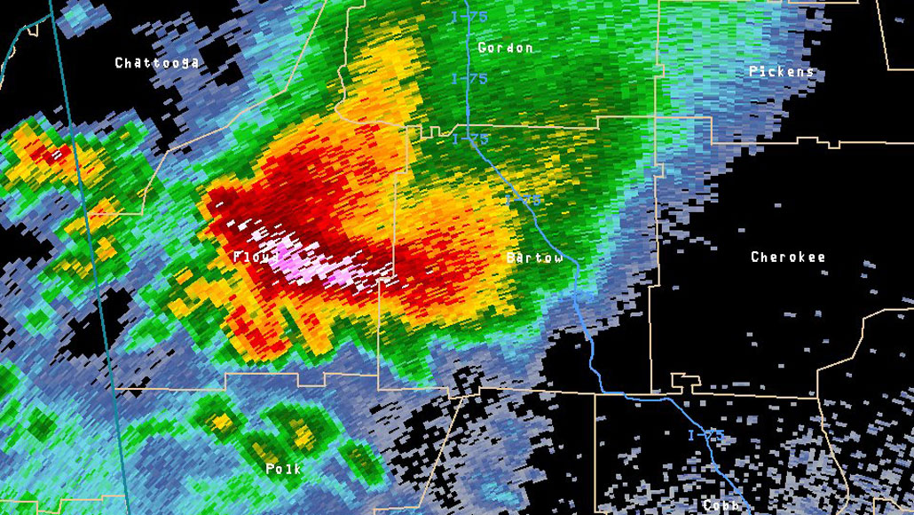
Doppler radar allows meteorologists to take a peek at the intensity of precipitation in a storm. In this image of a 2011 tornado-producing storm in Georgia, brighter colors indicate more intense rainfall.

NOAA/NWS/Atlanta National Weather Service Forecast Office

Into the eye of a storm, Science News, June 27, 1970

Meteorologists, it has been said, too often are forced to combine inadequate observations with unsupportable assumptions…. To draw more information from the atmosphere and the hearts of storms, meteorologists are turning to a host of electronic aids. Laser beams, microwaves and sound, radio and infrared waves are all being used.

Update

Improvements to radar and satellite t­echnologies have enhanced researchers’ abilities to forecast severe storms. Data collected from airplanes flying through hurricanes and thunderstorms have helped clarify how the storms form and provided insights into the strength and speed of storm winds (SN: 6/2/12, p. 26). In the early 2010s, the U.S. radar network, which tracks nationwide storm a­ctivity, added dual-polarized radar t­echnology to strengthen estimates for rain or snowfall in locations across the United States. In terms of satellites, GOES-16, launched by the United States in 2016, provides images at four times better resolution than previous GOES satellites (SN Online: 9/21/17).

Erin I. Garcia de Jesus is a staff writer at Science News. She holds a Ph.D. in microbiology from the University of Washington and a master’s in science communication from the University of California, Santa Cruz.

More Stories from Science News on Earth