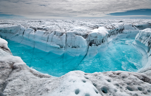
Scientists now have one polar ice study to rule them all. An international team of researchers has compiled 20 years of data from 10 satellite missions to create the most comprehensive assessment to date of Greenland’s and Antarctica’s shrinking ice sheets.
And the verdict: Between 1992 and 2011, the Greenland ice sheet lost 2,940 billion metric tons of ice while the Antarctic ice sheet shed 1,320 billion metric tons. All that water raised the sea level by an average of 11.1 millimeters, accounting for one-fifth of sea level rise over that period, the team reports in the Nov. 30 Science.
The findings are a good starting point for making improved predictions of future sea level increases. “Our estimates of ice sheet mass loss are the most reliable to date,” says study coleader Andrew Shepherd of the University of Leeds in England.
Over the last 15 years, scientists have reported a wide range of sometimes-conflicting estimates of how the polar ice sheets are changing. Many studies suggest that more ice is now lost each year through melting and calving icebergs than is added by annual snowfall. But some research indicates ice losses and gains actually balance out. The disparities stem from three different satellite methods used to evaluate ice sheet mass. And these studies have looked at different regions of the ice sheets over different, usually brief, intervals, says Richard Alley, a glaciologist at Penn State University.
In the new study, the team combined and compared data from different satellites using uniform time periods and the same geographic areas. They also factored in how glacial rebound — the rise of a landmass after the weight of an ice sheet has been lifted — influences estimates of ice loss.
The work confirms that the shrinking of Greenland’s ice sheet has accelerated: The island lost ice five times as fast in 2005–2010 as it did in 1992–2000. And the Antarctic ice sheet overall is now losing more mass than it’s gaining, even though ice in East Antarctica grew slightly during the last decade.
The good news is that the satellite methods do largely agree when compared fairly, says Ian Howat, a glaciologist at Ohio State University. Combining techniques reduces uncertainty in the measurements, he adds. “This will be the benchmark now for observations.”
The bad news is that there’s so much variability in how the ice sheets change from year to year that scientists can’t take the new estimates and simply extrapolate what’s going to happen to future sea levels, Howat says. More long-term data are needed to understand the source of these currently unpredictable ups and downs.
That means countries need to continue monitoring the poles with satellites — and even expand their coverage, Howat says. The study authors point out that East Antarctica and the Antarctic Peninsula, which juts out from the western end of the continent, have not been examined as closely as Greenland and West Antarctica.
But the ice sheets aren’t the only ice that’s vanishing. Melting glaciers in Alaska, the Canadian Arctic, South America’s Patagonia and elsewhere are also raising sea levels. “The next step is to take this comprehensive approach to ice in the rest of the world,” says W. Tad Pfeffer, a glaciologist at the University of Colorado Boulder. No one is studying those other regions as intensely as the polar ice sheets, he says, but they are “a huge contributor with a huge lack of information.”


